Welcome to MapMakr!

MapMakr is a mapping tool offered within our byondcloud product stream, which cemeteries can use to map individual locations within their site.
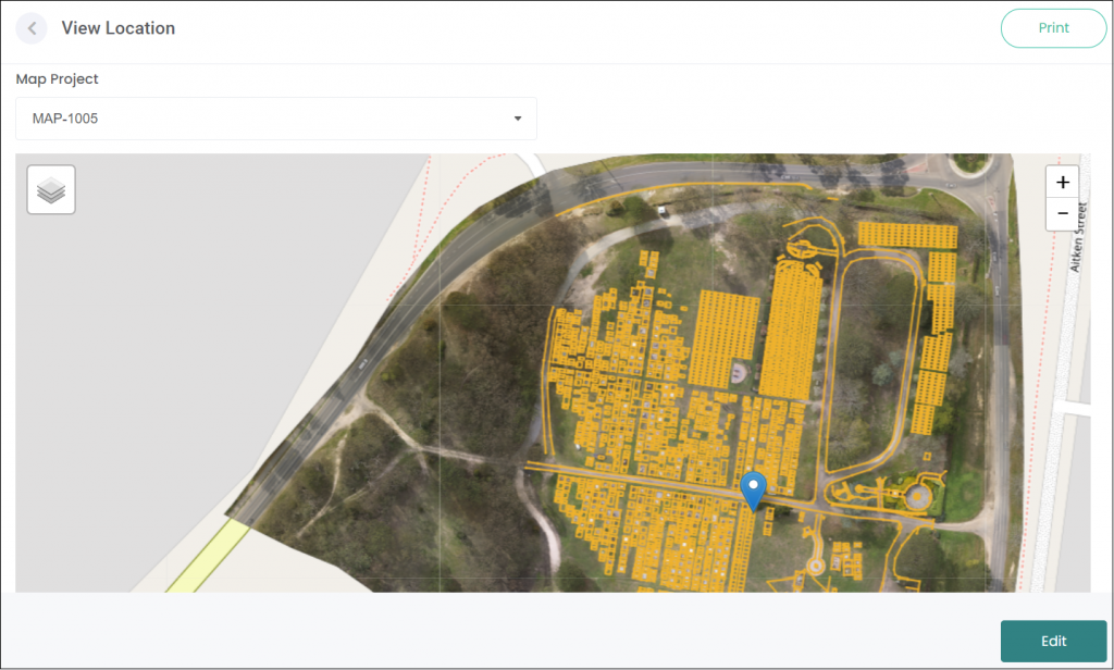
It enables cemeteries to upload drone imagery or polygon drawings of their site, and then map individual graves / plots using location codes and longitude and latitude coordinates.
Where drone images are applied to a MapMakr project, it provides a much more accurate and clearer view than Google Maps, enabling cemeteries to identify, mark and view individual graves / plots at a very detailed level.
MapMakr also integrates with RecordKeepr, enabling users to import their MapMakr map projects to view locations within the Manage Locations, Inventory Availability and Deceased Search functions within RecordKeepr.

It also integrates with byondpro, where map information and map tile information can be viewed in the Site Summary.
Keen to explore MapMakr? Let’s check it out!
